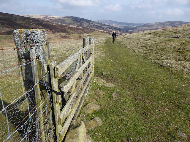
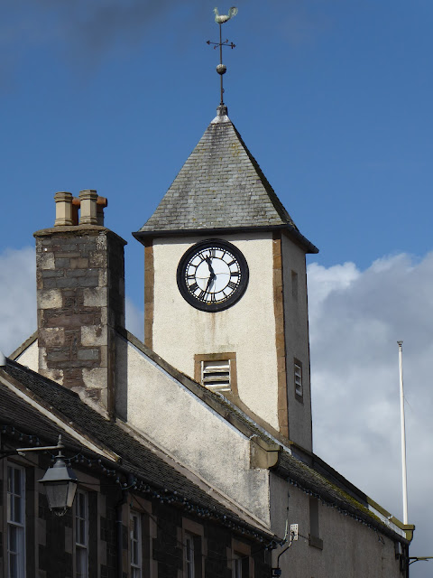
Running from Dunbar through the Lammermuir Hills to Lauder, the Herring Road is the old route used by fishwives carrying creels of herring to market. The route has been in use since the 17th century and would have been used by a variety of travellers in the day as well as the fishwives. As we would be spending two and a bit days backpacking the route, we'd hoped that our heavy packs might give us a sense of what it must have been like carrying a heavy load through the hills here. Mind you, our packs were probably not as heavy as a creel of herring ... and certainly not as smelly.
The Herring Road is 28 miles long and uses a variety of countryside paths and hill tracks with the latter stages picking up a section of the Southern Upland Way. While there is some signage where the route crosses the hills, it's not a waymarked route so a bit of map reading was required to link together the network of trails and stick as faithfully as possible to the original "road".
The online route descriptions take the Herring Road out of Dunbar via the back road to Spott and Halls. After starting at the harbour, we instead headed a little way south to the hamlet of Broxburn. This avoided several miles of road walking and allowed us to string together a lovely route that used farm tracks and core paths to pass south of Spott and onto Halls. It was beautiful along here in spring sunshine with daffodils and primroses dotted through the woods. Our weather was a bit hazy but we could just make out Berwick Law and the Bass Rock. The views over the coast must be lovely on a clear day.
At Halls we came upon on the first sign for the Herring Road which pointed us up into the Lammermuir Hills. We left the green fields behind and climbed up into a rougher landscape of moor and bog, eventually passing into the Crystal Rig wind farm. The road was hard to follow here, being just a suggestion of a path through the bog but eventually we picked up some signs again and knew we were on the right route. Despite the turbines, I liked the landscape here. There were open woods, a sense of remoteness and big, open skies.
By early evening, we were dropping down towards Whiteadder Reservoir and found a welcome spot for the tents in a quiet cleugh. We were tired as the going had been rough. Next morning there was a light frost on the tents, probably the last of the season. We continued along the Herring Road, briefly re-entering civilisation at the reservoir and its cluster of farms before climbing back up into the hills for a day of ups and downs.
Wherever we passed through farmland on this route, we were amazed by the number of birds. Skylarks in the skies above; in the fields, curlews and more lapwings than I have ever seen. The lapwings were performing their spring display flights and the air was full of their bizarre, almost electronic sounding song. After the next rise, we dropped down to Dye Cottage then passed up and over the next hill to drop to Watch Water where we picked up the path of the Southern Upland Way.
From every high point that morning, we had been able to see the two giant cairns of Twin Law, the highest point of our route. The Southern Upland Way took us gently up to the summit of Twin Law but the hazy day limited the views. We stopped of course to sign the visitor book which was placed inside an old munitions box in the bigger of the two cairns.
The Herring Road continued southwest in mile after mile of gentle undulations. Eventually we left the open hills and passed back into green farmland. The road briefly parts company with the Southern Upland Way at Braidshawrig Farm and just south of here we pitched the tents for a second night out.
The last morning's walk was wonderful as the Herring Road rejoined the Southern Upland Way and passed through a landscape that I rarely find myself walking through. Here the road continued to Lauder through rolling green hills and woodland copses. At times the path cut across the middle of fields and other times, it kept company with old, stone dykes along the margins. Again, the fields were full with lapwings. To the south, the unmistakable outline of the Eildon Hills was our compass point for the final few miles into Lauder.
Waiting for the bus home with coffee and cake was a time for reflection on the walk. The Lammermuir Hills are far from being the most scenic part of Scotland and are largely heather-clad, shapeless lumps. But the route had delivered an unexpected sense of remoteness and an abundance of birds that livened each mile. As well as this, following the old road and understanding something of its past, really made our trip quite special. Hats off to the fishwives of the day who walked this route laden with herring.
Fact File
Finish: Lauder
Public transport: East Coast Buses X7 from Edinburgh to Dunbar; Borders Buses 51 from Lauder to Edinburgh
My route: From Dunbar walked south along the A1087 to Broxburn. Turned right at Broxburn and just before an underpass a dirt path heads south alongside the railway line. It reaches an underpass for the A1 and railway line. Went through this and followed the signed core path to Spott House. Continued passed Spott House and where the track met a road turned right, then first track to the left. Followed this which becomes a footpath and passes through the valley of the Black Loch. Path continued across a field and joins a track to Halls. Just before the farm at Halls, the footpath is signed across a bridge. It joins a road where we turned left and at the road end is a sign for the Herring Road. The rest of the route can be found on the Scotways Heritage Paths website. It is vague at points across Dunbar Common/Crystal Rig wind farm but keeps on a consistent trajectory and eventually picks up signage. Easy navigation once the Southern Upland Way is joined as it is waymarked but the Herring Road leaves it Braidshawrig Farm - pass in front of the farm, cross the Wester Burn and follow the grassy track on the west side of the valley skirting Wheelburn Law. It rejoins the Way after a couple of kilometres for the rest of the route to Lauder.


No comments:
Post a Comment